Introduction: 2016-2018
Wout Zweers is member of project Wetropolis which took place between 2018 and Nov 2022. Wetropolis started in 2016 after the Boxing Day Flood in Leeds and resulted in 2017 in the successful Leeds – Aire flooding model. Onno Bokhove (Leeds UK) and Wout Zweers (Enschede NL) cooperated in making an interactive project about flooding of the river Aire that flows through Leeds. They noticed that hands-on in a model works very well to engage the audience. This was the start of the project Wetropolis with goal:
Improving engagement and participation through more interactive, tangible models especially for water related problems.
This follow up Wetropolis project started in 2018 and ended in 2022. It was founded bij Efro – OPOost.
At the same time Onno Bokhove and Wout Zweers continued to work on the Wetropolis-Leeds model:
More information about the original Wetropolis Leeds model
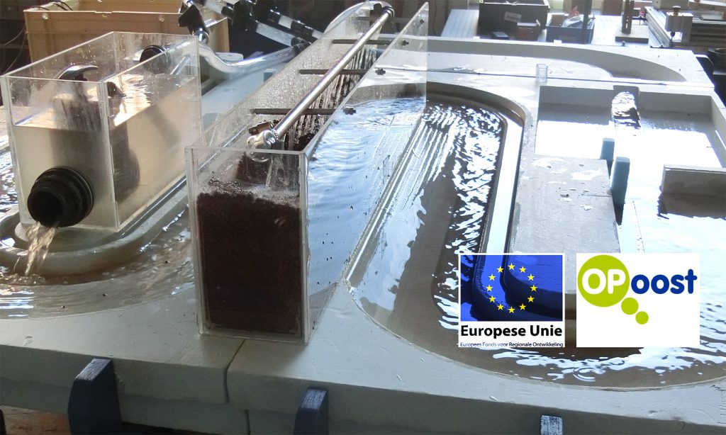
YouTube movie of original Wetropolis – Leeds. Interview with Onno Bokhove; demo of Wetropolis model. The original model is still being used in England and adapted for various situations.
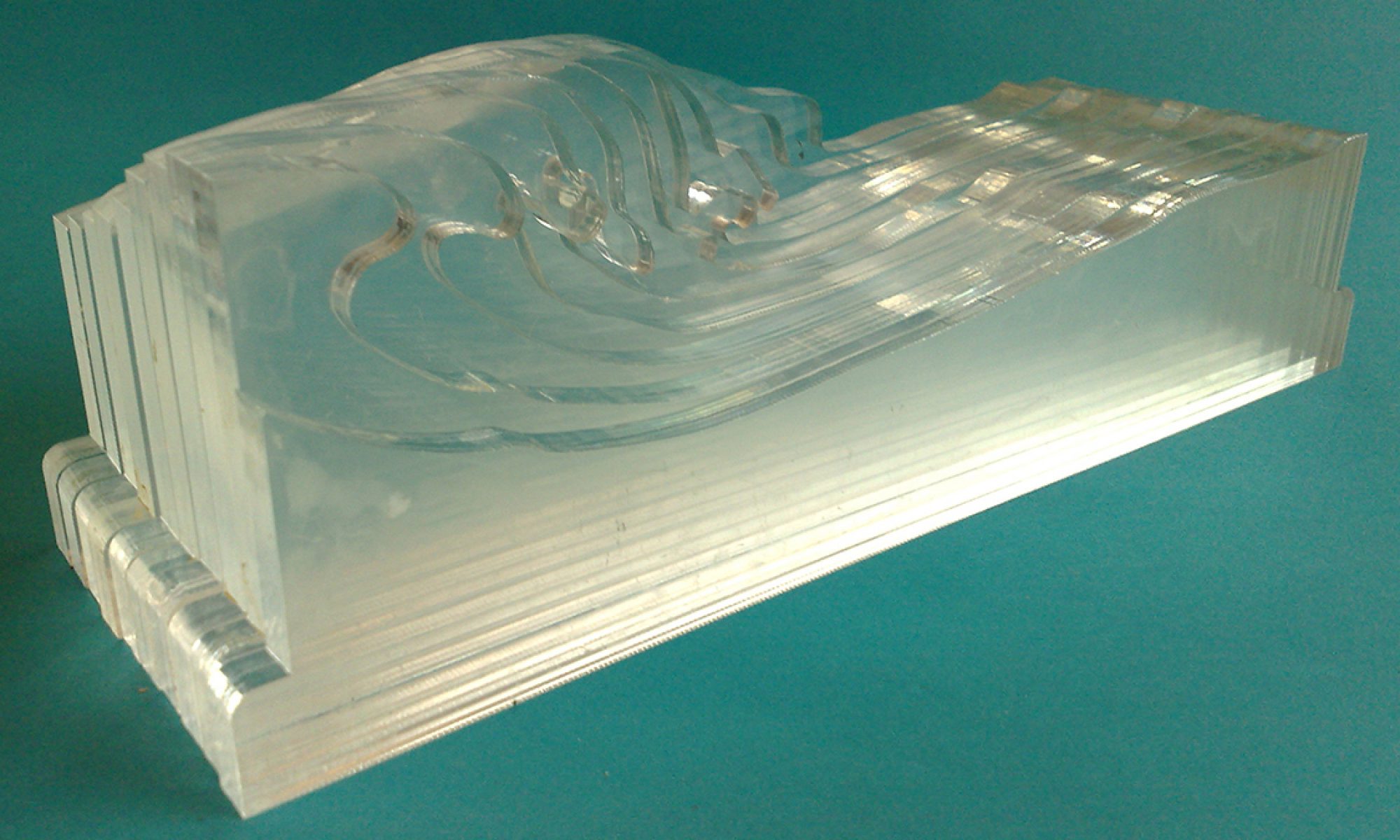
Github site of Wetropolis with building instructions , plans and code for those who want to know more about the construction of the model or who want to build a similar model
2019 – 2022 : the Efro Wetropolis project:
In the Efro-Wetropolis project different aspects were added to the original idea. The following questions have been investigated : how can a physical interactive model be used in various situations (education, outreach, management, fairs). What are best practices? How can models be built and used? What can we expect from these models in various situations?
Wout Zweers’ conclusions:
There are many ways to build confidence and transfer knowledge, in both directions between government and users, and physical models as proposed in Wetropolis can be used as a good medium to accomplish such. But all users, be it government or interested audience, should be aware that “a method” is not the one and only answer and should not be followed blindly. A method should be finetuned and used with understanding and wisdom. And most of all: without building trust, respect and using each others knowledge and interests applying a method is almost certainly doomed to become a problem in itself.
Build mutual trust and respect
However, the models offer ample opportunities to meet each other and discover mutual interests on which we can build good relations and understanding, even develop good plans and transfer knowledge.
Use interactive models, but only where necessary and effective for the desired goal.
Good methods or working models are not all that determine a successful project. Other factors influence the outcome as well. Cooperation and continuity are some of those factors.
During the Wetropolis project coordination and communication suffered deeply because of the Corona restrictions between 2020 and 2022.
But also without Corona restrictions this can happen. It requires a lot of work in general to keep a project going. Frequent meetings and continuity are required to turn plans into action and results. Ideas, methods and other aspects that make cooperation possible must be exchanged and shared. If this does not happen perception of the project and it’s energy may change. This does not have to be intentional or result of a disagreement: frequent changes in personnel are common and unavoidable at all levels. This however effects the project more than might be expected and can be a real problem. A project may be crippled and suffer from it.
Go for continuity and frequent cooperation in a project
Waiting to start until all plans are perfect is worse than trying and perhaps delivering something else than expected. They call this designing. And that is the core of Wetropolis: design something which helps us further in outreach and water management, that gives us new opportunities and ideas.
Producing something that works, even small or imperfect, is better than waiting for a perfect plan.
This sounds so trivial, but it is not.
The leading question “What method can be used to improve engagement?” should also be reconsidered, especially what is expected from engaging. Often it contained a stereotype.
Future:
Wout Zweers, as agricultural engineer and designer, produced models and visualizations for this project. He tested how these might be used for the project goal: engaging and participation. He gave workshops in various situations for a varied audience and worked extensively with students. These activities turned out well and became an important and inspiring part of his activities. He made making interactive and topographical models (especially regarding hydrological and geographical situations). Geo information systems (GIS) became an important tool for his work. This will be very useful in the near future, amongst others, for coaching students, building topographical models, subsoil models and organizing and giving land use workshops. The model making and methods may also be used for different problems than water management. Land use in the future is another potential area where models can be used. Application of models in education (especially related to hydrology and geography), is also well within reach.
Delivered work for Wetropolis (overview) .
Short description of activities for Efro Wetropolis project (temporary page)
Wetropolis documents: Delivered work
Contains various workshops and demo’s for engaging and working with the public regarding water related themes, as well as links to documents and information relevant for the project. This page also contains links to detailed instructions and building plans for those who are interested in building a similar model or replicating the (original) Wetropolis-Leeds model.
Blogs related to water models and GIS:
Demo Gis en maquette International Water Management Saxion
Practising contour making with GIS