Partner: Zweers (wowlab)
Work Sep ’18-Dec ’19
- Assisted management NobisBV
- Set up and built website Wetropolis.nl and acts as webmaster, wrote several blog articles
- Built copy of Leeds Aire River foam models
- Improved Arduino electronics and code of Leeds model
- Coded Grasshopper scripts (Rhino3D plugin) to import local topographical information from AHN (Algemene hoogtekaart Nederland) and Open Street Map in Rhino (3D modelling program). Applied this in modelling topography of “Gorssel” model
- Cooperation with JanJaap Wietsma (Pre-U). Goal-01: Develop hands on model for secundary education in NLT. Product-01: lesbrief and materials for lessons NLT
- Constructed and evaluated plaster model of Gorssel: milled river model in foam, cast silicon reproduction mold, casted plaster reproductions for evaluation
- Presentation of Wetropolis (lecture) and Lego model test at Maker Fair Eindhoven 2018
Work March ’19-June ’19
- Assisted management NobisBV
- Investigated weather quicker, easier material to work with than plaster would be feasible . This resulted in Lego and polystyrene models.
- Developed, tested and evaluated Lego waterscapes at Maakfestival Twente Enschede 2019, Willemschool Hengelo , Culturele zondag Enschede , Expeditie Next Rotterdam
- Built LEGO version Galton board, compatible with existing Arduino sketch for Galton Board
- Used Dino (subsoil) information to make subsoil model and validated this model against available data of “kwelwater”
Work July ’19-Oct ’19
- Developed handcut river shape in foam with adjustable hot wire foam cutter (“Zwolle”model) (Goal-01)
- Experimented with sand in foam models to show sedimentation
- Started “Enschede” subsoil model made of polystyrene, machined with laser to give it hydraulical characteristics
- Acts as “opdrachtgever” for students of International Water Technology (Saxion): Fieldlab about prototyping hydrological cases
- Improved ways of obtaining topographical data for model making using Gis
- Made cutting maps for lasercutting, using ArcGis, Illustrator and Photoshop
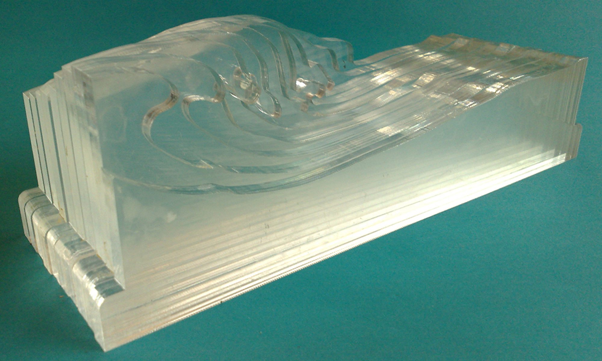
- Developed lasercut models of Zwolle / IJssel
Work Nov ’19 – Dec ’19
- Developed large realistic laser cut model of Zwolle region for use with students
- Attended / jury member Scholieren Seminar at Design lab about water management
- Proceeded making models with wood (Texel)
- Mapped satellite images and watercourses on model Zwolle
- Attended GIS learning sessions
- Coaches students of International Water Management Saxion (Fieldlab) on groundwater visualisation
- Work 2020, 2021
- (serious delays in progress of the work because of Corona limitations, not much testing could be done and cooperation with partners was seriously restricted and therefor less creative or productive )
- Developed and built layered 3D model of Enschede for general public use at Kerstherberg
- Developed foam model “Stuwrug Enschede” for interactive, hands-on hydrogeological demo model. Based on AHN and DINO (algemene hoogtekaart Nederland and Digitale informatie Nederlandse ondergrond)
- Developed models of subsoil of Enschede for visualisation and understanding of groundwater flow and local water problems.
- Investigated and evaluated how to visualize groundwater aimed at outreach and education with Design Lab Utwente
- Published together with PreU two articles about groundwater and use of a physical model
With students Saxion Fieldlab:
Visualised groundwaterflow (Hele Shaw cell), visualised feasibility of groundwater use in Enschede (groundwater as grey water supply for Saxion) , developed hands on flow model of subsoil, with non homogenous conductivity over the area (EPS layered model)
Work 2022
Developed and executed workshop for teachers in Marknesse ( Waterloop bos) for evaluating and introducing water models / river making and modelling for use in secondary education.
Co-developed garden design and water use ( children hands-on workshop Zwolle) (soil properties and choice of plants, influence of heat, influence of soil on retaining of water)
Co developed water model and workshop Enschede Wooldrik ( 3D model, influence of heat, hands on influence of soil on retaining of water)
Mapped geotagged pictures with QGIS (using smartphone and standard app) to map, lasercut this map in cardboard
Built LEGO Galton board for continuous use
With students Saxion (Fieldlab):
- Workshop visualizing landscape ideas using design thinking approach in landscape and water discussion, with future applications in mind.
- Developing the resulting themes separately to physical demo models (construction of drainage pipe , water purification, sinkholes, floating cities, evaluating water retaining (spongue) capacities of various materials for use in water models)
Exhibition in Public Library Enschede ( Veranderend Landschap) about visualising landscape and waterforms for general audience. The exhibition included three workshops making a river (foamcutting workshop), a workshop / discussion about landscape and water and a lecture by watergraaf Stefan Kuks.
