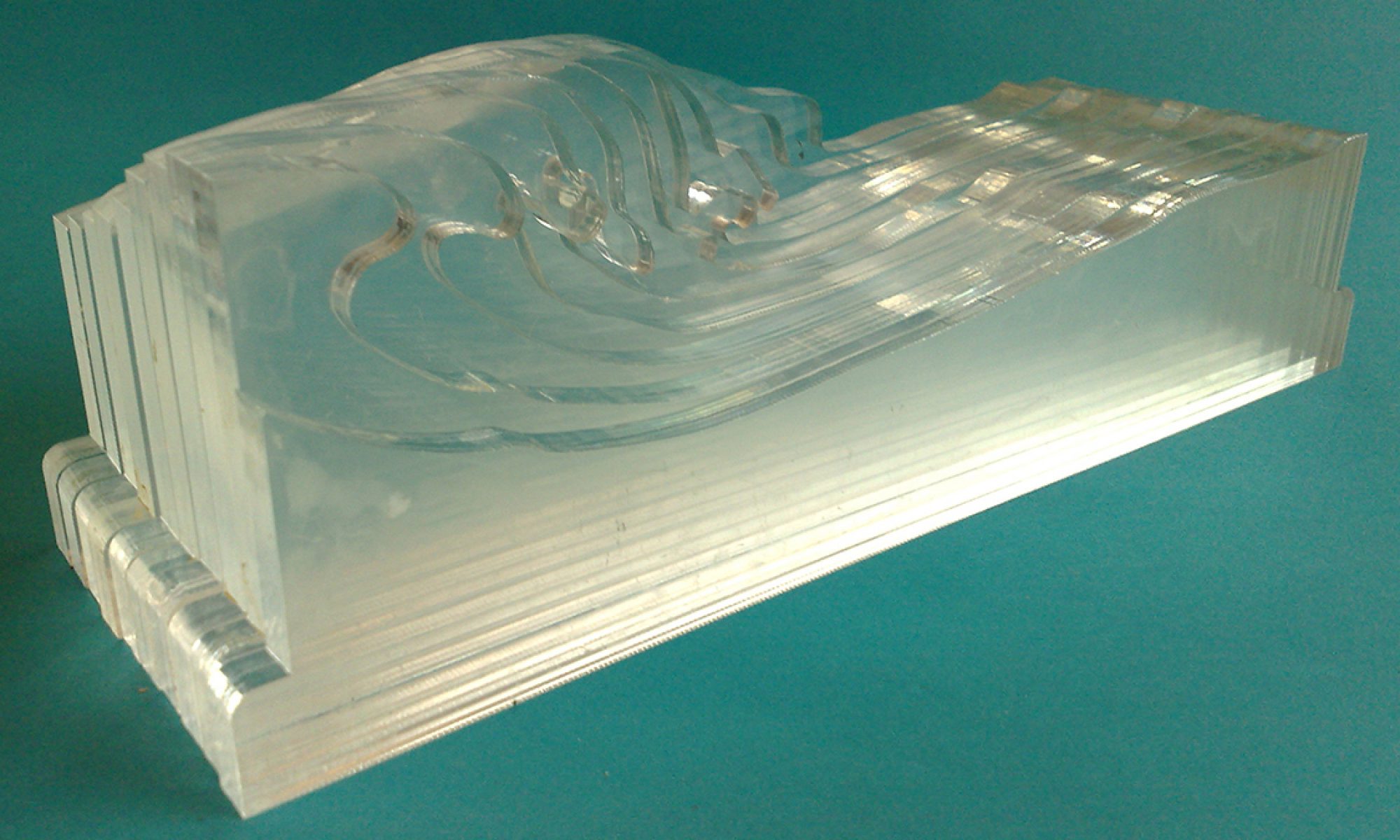
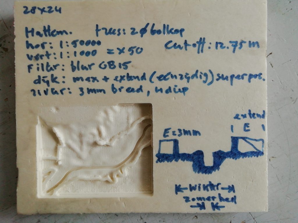
Based on situation near Hattem. Small model, only as a router test. Requires much work with Rhino and filtering in Either Photoshop or QGIS. Automatisation is required to avoid large amount of preparatory work. Usefull for permanent demo model of flooding of the IJssel (built on request of Waterlinie museum). Interestingly the river stands out very well due to the presence of the visible and relatively large dikes, where neglectable details such as minor dunes are smoothed and do not get the focus. It is a good model, but unfortunately requires much preparatory work.
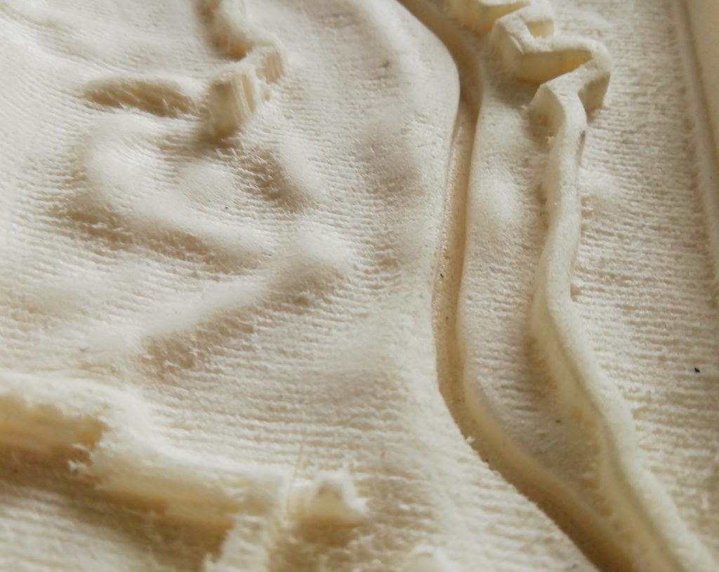
Dikes are modelled differently in this model: wider and rendered to a constant height above the winter bed. They are not filtered (and lowered because of smoothing)like less important parts of the area (like freestanding dunes, etc.) so they can withstand water in the model and are high enough to function as a water barrier.
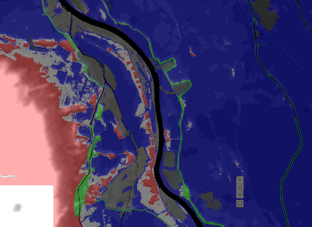
Dike areas are detected graphically and selected. In a later stage this can be improved, using a routine within the Gis program to detect dikes but probably netter by using dike maps in a GIS program like QGIS.
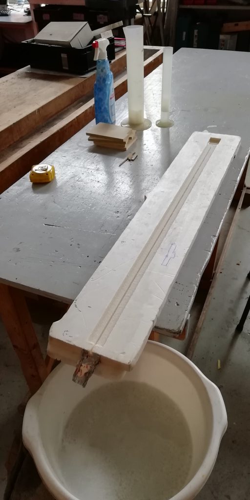
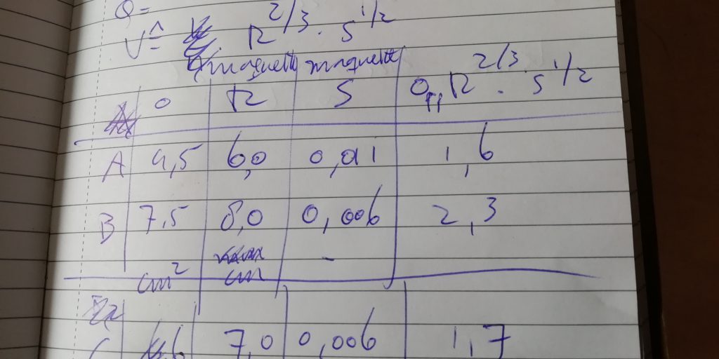
The river winter bed (channel) and summer bed (levees, uiterwaard) are designed differently to enable realistic overflowing of the water. Due to low Reynolds numbers the winter bed had to be modelled relatively larger than the levees. In the high water phase the flow (debiet) through the levee is much larger than through the winterchannel flow, and the error can be neglected.
Area near Hattem
this will retain the water in the summer bed / levee.
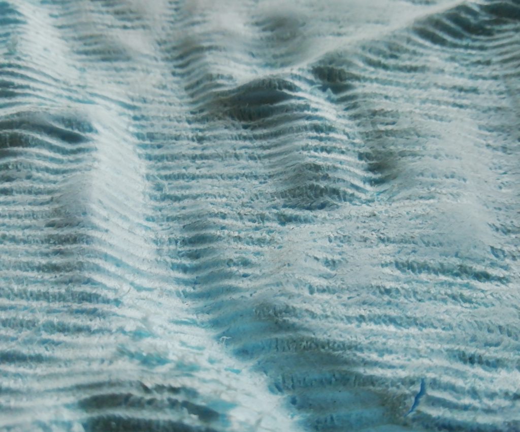
The winterbed, cut out separately, is now deep and wide enough to transport water properly
Advantages
- Accurate flow in model
- accurate landscape topography
Disadvantages
- Much manual work to detect dikes
Possible use
- Overstromingsmodel IJssel
- Exhibition model.
- Follow up of Wetropolis-Leeds model (accurate topo and flow)