making models based on easy to get locations: geotagged pictures as low threshold data collection. Test to find out if this would be usable for making maps, we used trees in Enschede. It work, and requires a minimal amount of scripting in QGIS. The result is a clickable map with points. If the points are clicked, the ( geotagged) picture appears. This can be used for gathering information of trees ( there are a lot of sick trees in Enschede) but other pictures could of course also be used, even readings of sensors or text / notes on that location. Very easy to use, requires almost no instruction
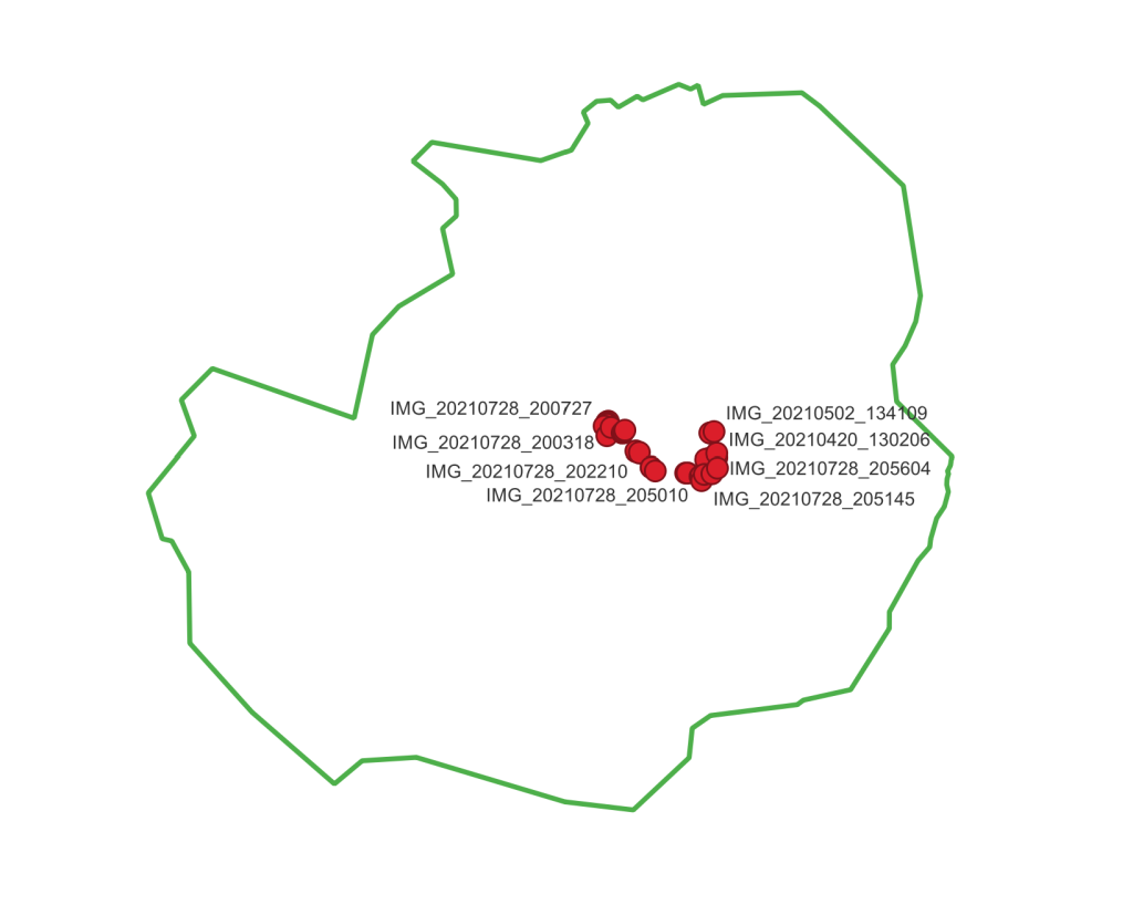
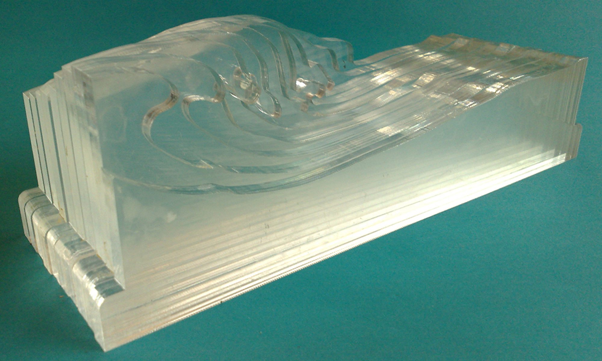
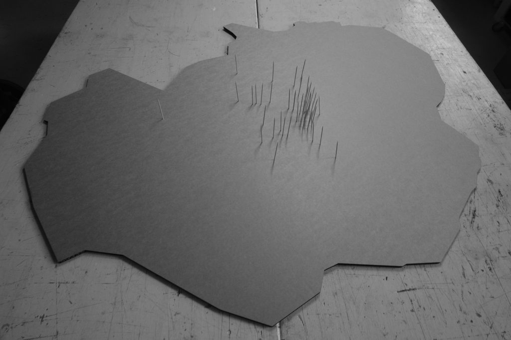
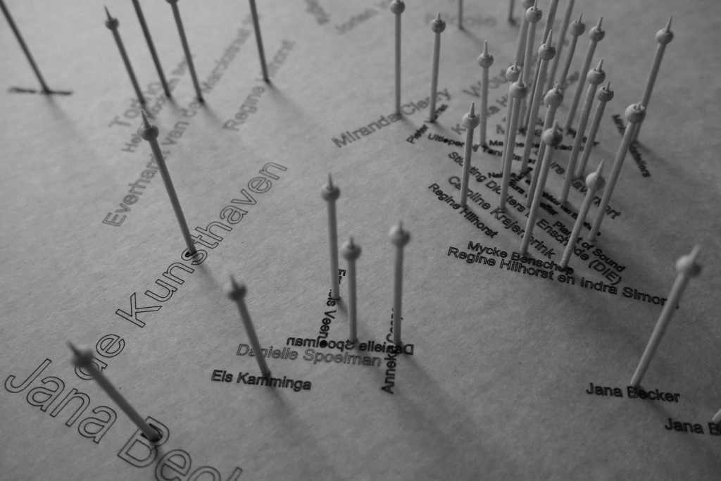
Next: zipcodes, also easy to get and process in QGIS. we tried it with members of an exhibition route all over Enschede (Allez Rentree). There is a plugin (PDOK plugin) that processes given zipcodes and maps them. The resulting map, loaded with zipcodes was exportedand lasercut. The sticks mark places were artists who contributed to an exhibition lived or performed. Other markers might be interesting as well (what about trees, sick trees? ) This is a nice way of making more of your 2D map. The third dimension adds something special and people look differently at it than an ordinary map.
A usefull app QField was tested, it works and looks promising but due to lack of time and cooperation this was not developed further. Besides, it was in Corona time and there were not many persons available to form a citizen science group around sick trees (other subjects are possible as well, what about a map of potential places where edible plants could be grown? Such a map might stimulate people to actually plant flowers, fruit, trees in the public space.)
However, it is possible to run QGIS on a smartphone disguised as QField. In close collaboration on a PC or laptop a list of questions, field to answer etc is prepared, stored as a qfield file which is transferred to the smartphone. On the smartphone the app opens the map and fields that are programmed. It works pretty effective and can be distributed to users who do not have to learn QGIS but only have to deal with an easy to use app for gathering geodata. The collected data is stored on the phone and late imported into QGIS in a rather good workflow. It can be used for all kinds of data, from pictures, text, measurements of sensors. The good thing is that it runs on a smartphone and can be distributed easily and does not have a steep learning curve once when the Qfield app is prepared.